Why SCT
Working with us
SCT’s work is technically robust, clearly structured and suited to the decisions and disciplines it needs to inform. Agreed scope and specialist outputs.
Start a conversation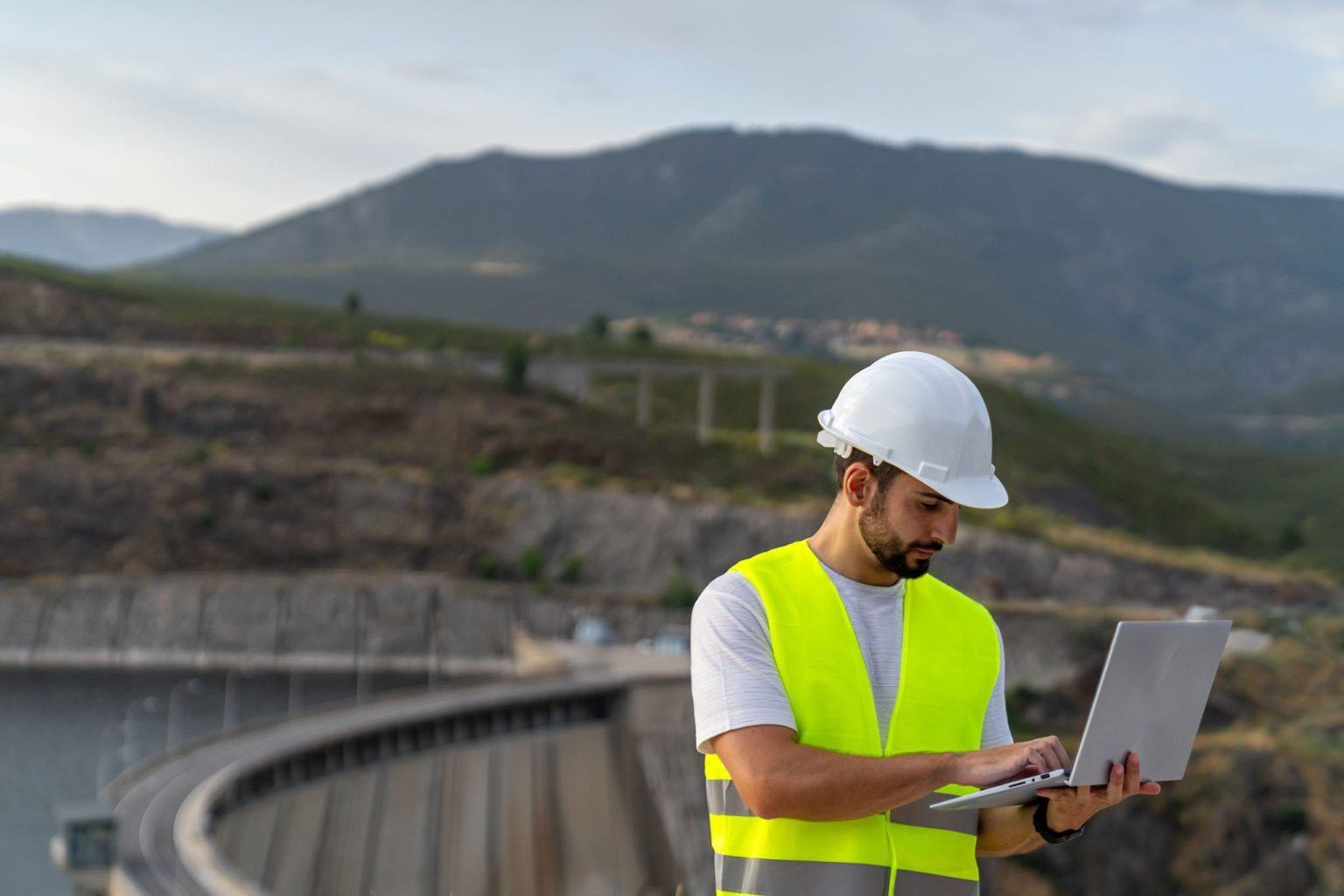
Clear, usable technical outputs.
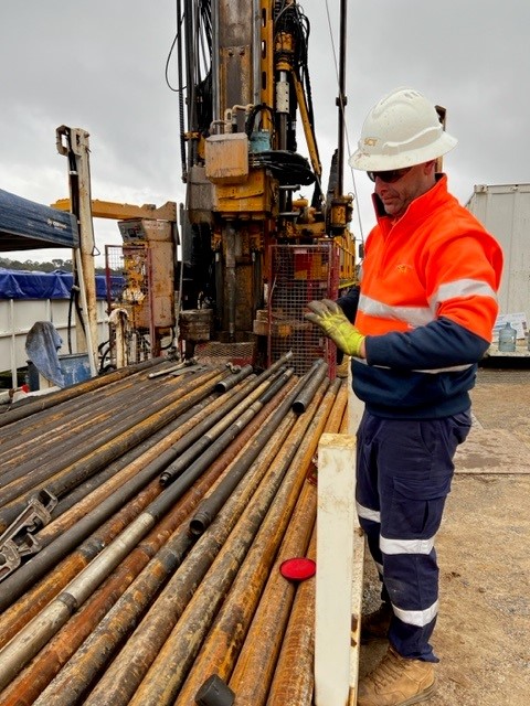
SCT’s contribution is shaped by what the project requires. Measurement results, interpretation, technical assessment, engineering advice. Each output is structured for its intended use with the findings, assumptions, limitations and implications clearly explained. Where an engagement involves investigation, measurement, modelling, engineering judgement, each stage will inform the next to build a robust technical position.
What SCT brings to a project
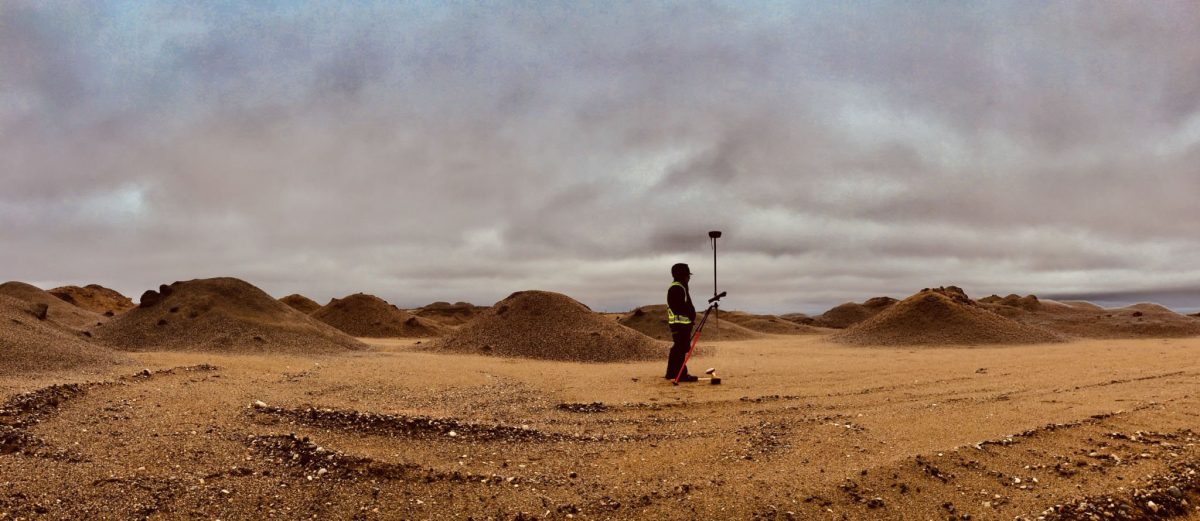
SCT's involvement provides a grounded basis for a decision — not a dataset that describes what the ground is doing, but a position from which informed decisions can be made.
Where SCT is engaged as part of a wider project team, outputs are structured for the stage they feed into, technical positions are specific enough to cite without qualification, and scope is defined before work begins. The result is practical advice that explains what the findings mean, why they matter and how they should be carried forward.
Clear and predictable delivery
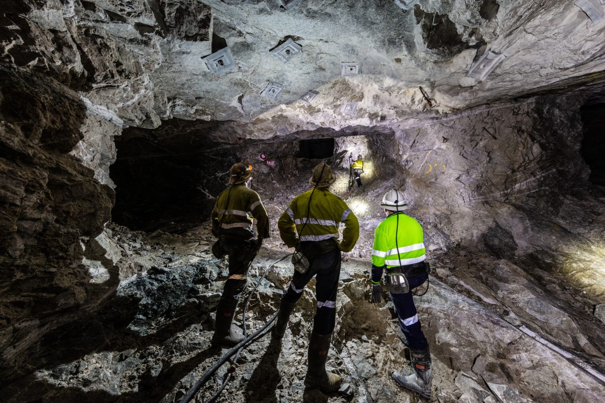
Clients know who is responsible for the work, what will be delivered and how the program will be managed.
Where field conditions, ground behaviour or emerging findings affect the agreed approach, SCT communicates early, explains the implications for the scope, deliverables and budget early. This allows the project to stay on track before problems arise.
Collaborative by nature
Geotechnical challenges rarely sit within a single discipline. SCT works closely with client teams, consultants, contractors and other specialists to ensure technical information is understood and applied in the context of the wider project.
Our integrated consulting, field services and instrumentation capabilities allow knowledge to move directly between investigation, measurement, analysis and practical implementation.
The work SCT does
SCT's services span investigation, measurement, modelling and advice across underground mining and infrastructure projects. Explore our capabilities below.
Investigation and characterisation
-
Geotechnical characterisation programs
Ground conditions modelling, rock mass characterisation, geological definition, geotechnical mapping, core logging, and laboratory testing.
-
In-situ stress measurement
3D in-situ stress measurement using overcoring technique with the ANZI Strain Cell from surface boreholes to depths of 1,000m, and stress change monitoring.
-
Wireline and image log analysis
Acoustic and optical televiewer, borehole breakout and structural analysis.
-
Borehole surveys
Camera, televiewer, wireline and image log analysis, investigations for structural integrity, fracture and discontinuity logging.
-
Reservoir characterisation
Hydrogeological testing, packer and permeability testing, vibrating wire piezometer installation, hydraulic conductivity testing.
Field services and instrumentation
-
Roadway and reinforcement design
Ground support design for underground excavations, support performance assessment, ground support monitoring.
-
Vibrating wire piezometer installations
Groundwater and pore pressure monitoring, installation and ongoing data processing.
-
Inclinometer installation
Installation of in-place inclinometers for shear horizon and overburden movement monitoring.
-
Hydraulic fracturing
Cave preconditioning in block caving operations, longwall windblast control, and gas drainage borehole stimulation in low-permeability seams.
-
Creek bed and subsidence remediation
Investigation and remediation of subsidence impacts on watercourses and sensitive surface features.
Modelling and design
-
Numerical modelling of underground excavations
2D and 3D FLAC modelling of ground behaviour in roadways, longwall faces, tunnels and large-scale caving operations.
-
Longwall caving and canopy assessment
Caving simulation, stress redistribution and mine interaction, pillar and support system analysis, windblast and periodic weighting analysis.
-
Subsidence prediction
Empirical and modelling-based prediction for environmental assessment, extraction plan approval and statutory reporting.
-
Rock fracture and hydraulic conductivity
Overburden fracture modelling, hydraulic conductivity estimation above extracted panels, groundwater interaction assessment.
Consulting and mine design
-
Mine layout and optimisation
Strata control hazard identification and elimination at concept, pre-feasibility and feasibility stage.
-
Pillar design
Coal pillar behaviour assessment for safety, roadway protection and subsidence control.
-
Early project development and feasibility
Geotechnical support from concept through to operation, including technical due diligence and JORC modifying factor quantification.
-
Reinforcement design and rock bolting
Laboratory to field measurement, equipment and consumables assessment, workforce training programs.
-
Caving geomechanics and seismicity
Mining-induced seismicity analysis, overburden caving investigation, hydraulic fracture design.
-
Civil works
Shaft sinking, cross-measure drift design, portal construction, TBM integration.
Common questions
The questions cover what is most commonly asked before an engagement with SCT begins.
What does engaging SCT typically look like?
Most engagements begin with a defined scope and a named deliverable — a stress measurement program, a numerical modelling assessment, a geotechnical characterisation report. SCT agrees the scope, confirms the output format and timeline, and delivers. For more complex or evolving programs, the scope is structured in stages so the engagement can adapt as ground conditions develop.